nicetrails

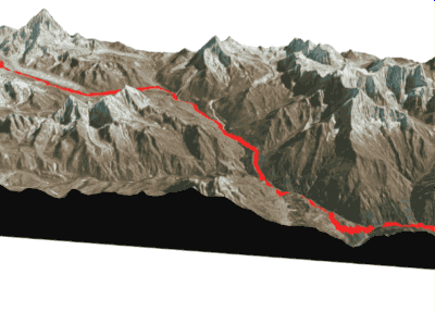
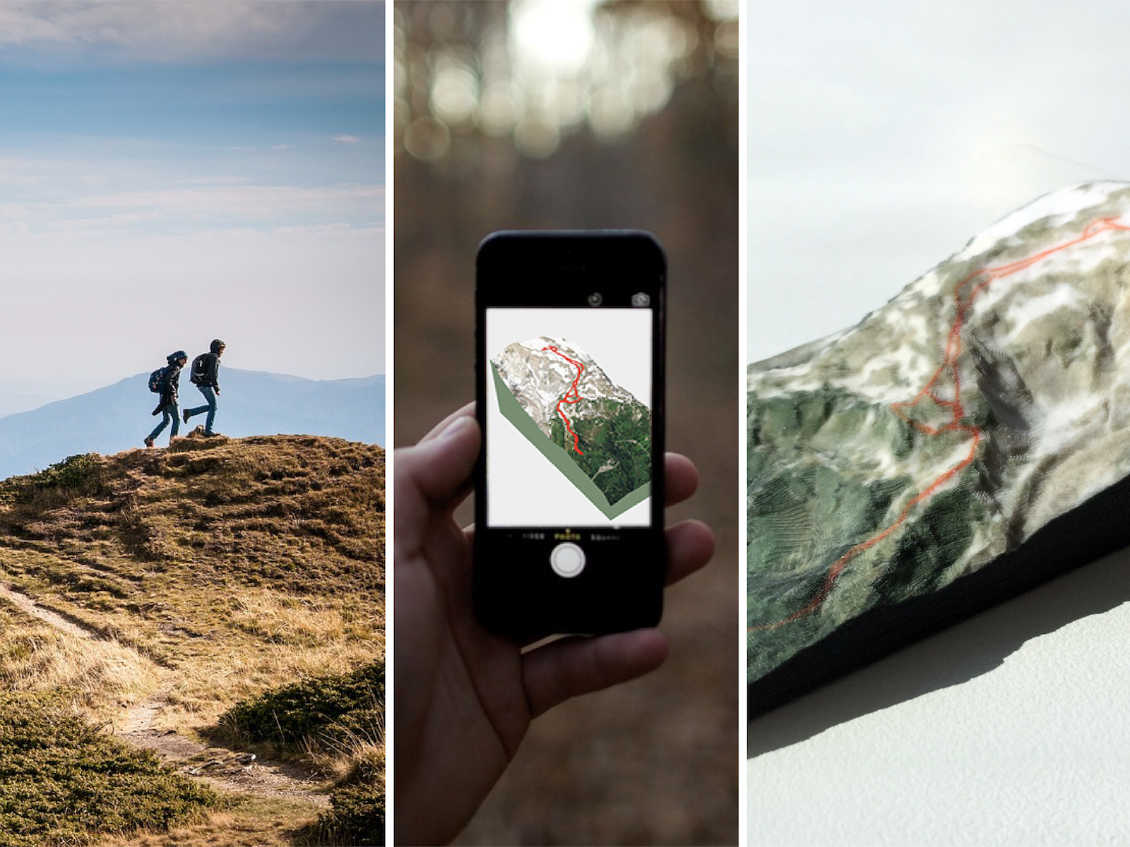
Turn GPS trails into tiny mountains, 3D Printed
nicetrails.com is a tool for anyone to visualize and share gps-geolocalized data in 3D.


EOL / 2016-2022
nicetrails service is discontinued.
We started this project in 2016 building a custom software to turn GPX tracks into 3D-printable files; now, in 2022 the internet has changed, and nicetrails should update its web usability and engine speed… but our focus is currently in another directions… so, discontinuing seems like a good choice now.
Shutting down is a bit sad, but we enjoyed the journey.
Thanks for your support during all this time.
Bernat / designer
Oscar / developer
Website Archive


Backend Archive / 3D engine / interface
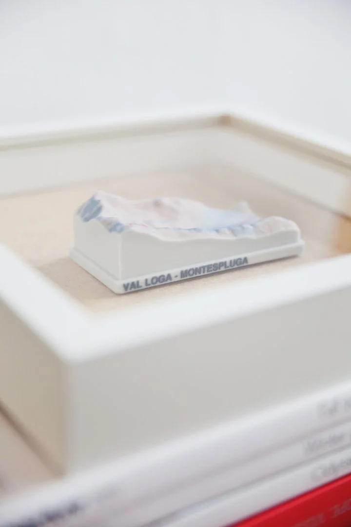
Some models created


Alternatives
Here some alternatives to keep turning GPS to 3D:
For large scale 3D Prints: WhiteClouds-Terrain
For 3D Artists: BlenderGIS addon
For a web app: Maps3D